Estrella Mountain Regional Park
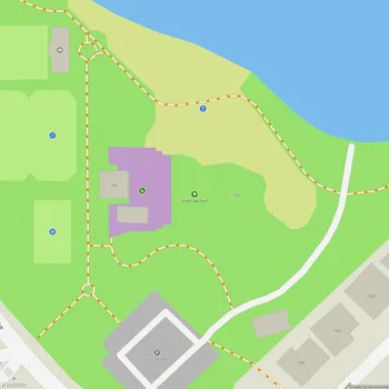
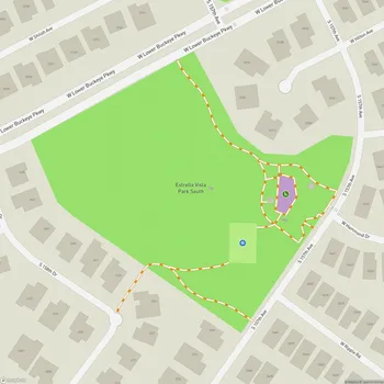
Estrella Mountain Regional Park Map
About Estrella Mountain Regional Park in Goodyear
Estrella Mountain Regional Park is a vast 19,840-acre expanse of desert and mountains located in Goodyear, Arizona. Established in 1954, it was the first regional park in the Maricopa County Park System. The park is situated near the confluence of the Gila and Agua Fria Rivers in the southwestern part of the Phoenix metropolitan area.
The majority of the park remains in its pristine desert state, offering visitors a glimpse into the landscape that early settlers and explorers would have encountered. The park encompasses part of the Sierra Estrella mountain range, also known as the Star Mountains, which was once within Mexican territory until the Gadsden Purchase of 1853.
Estrella Mountain Regional Park features diverse terrain, including desert landscapes, mountain foothills, and a large wetland area. This variety of ecosystems supports a wide range of flora and fauna typical of the Sonoran Desert, including saguaro cacti, paloverde trees, and various desert wildlife.
The park offers over 33 miles of multi-use trails for hiking, mountain biking, and horseback riding. These trails vary in difficulty and length, ranging from easy 2-mile loops to challenging 9-mile treks, catering to visitors of all skill levels. The trails provide opportunities to explore the park's natural beauty and offer scenic views of the surrounding desert and distant city lights.
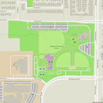
In addition to its natural attractions, Estrella Mountain Regional Park includes developed areas for recreation. The 65-acre Casey Abbott Recreation Area features the only grass picnic area in the Maricopa County Park System, providing a unique oasis in the desert setting. The park also includes facilities for various outdoor activities and sports, making it a versatile destination for both nature enthusiasts and those seeking active recreation.