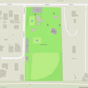
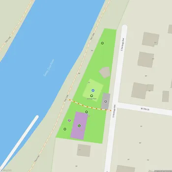
Santa Cruz River Park
Santa Cruz River Park Map
About Santa Cruz River Park in Tucson
Santa Cruz River Park is a linear park that runs along the banks of the Santa Cruz River in Tucson, Arizona. The park extends from El Rio Park north of Twin Peaks Road to Silverlake Road, with another section running from Ajo Way to Drexel Road. This extensive green space follows the course of the mostly dry Santa Cruz River, offering residents and visitors a unique opportunity to experience the desert landscape in an urban setting.
The park is part of a larger trail system known as The Loop, which spans over 136 miles throughout Tucson and Pima County. The Santa Cruz River Park Trail itself covers approximately 41.8 miles, providing ample space for various recreational activities.
One of the park's notable features is its historical significance. It includes the Anza Trail, which is part of a National Trail system following the historic route taken by Juan Bautista de Anza on his journey to establish what would become San Francisco, California. This connection to the past adds an educational element to the park experience.
The park's landscape is characterized by the arid beauty of the Sonoran Desert, with opportunities to observe local flora and fauna. Visitors can encounter native plants, birds, and other wildlife adapted to the desert environment. The park also incorporates reclaimed water features in some sections, helping to maintain a more lush environment along the riverbanks.
Santa Cruz River Park serves multiple purposes beyond recreation. It plays a role in flood control for the region, demonstrating how urban planning can integrate natural features for both practical and recreational purposes.