César Chávez Park
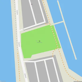
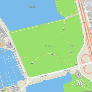
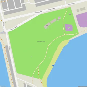
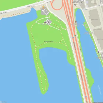
César Chávez Park Map
About César Chávez Park in Berkeley
Cesar Chavez Park is a 90-acre urban park located on the north side of the Berkeley Marina in Berkeley, California. The park, named after labor leader and civil rights activist Cesar Chavez, offers visitors a unique blend of natural beauty and recreational opportunities.
Originally a landfill site, the area was transformed into a public park in the early 1990s. The park's terrain is characterized by open, grassy hills that provide panoramic views of the San Francisco Bay, the Golden Gate Bridge, the Marin Headlands, and the East Bay hills. This elevated position makes it an ideal spot for sightseeing and photography.
One of the park's most notable features is its 1.25-mile perimeter trail, known as the Dorothy Stegmann trail, which is fully wheelchair accessible. This paved path encircles the park, offering visitors a scenic route for walking, jogging, or cycling while enjoying the waterfront views.
The park is also known for its popularity among kite enthusiasts. The open, windy conditions make it an excellent location for kite flying, and it hosts the annual Berkeley Kite Festival in July, drawing thousands of visitors.
For nature lovers, the northern end of the park includes a designated wildlife sanctuary. This area provides habitat for various bird species and offers opportunities for birdwatching and nature photography. The park's location along the Pacific Flyway makes it a prime spot for observing both resident and migratory birds.
In 2004, the park saw the addition of the Cesar Chavez Memorial Solar Calendar, an educational and cultural installation that celebrates both scientific and cultural aspects of solar observation.
Cesar Chavez Park serves as a multi-use recreational space, catering to a wide range of activities and interests. It provides a peaceful retreat for those seeking to enjoy nature, engage in outdoor activities, or simply relax while taking in the spectacular Bay Area views.