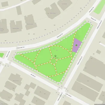
MacArthur Park
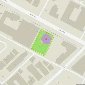
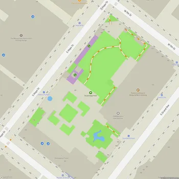
MacArthur Park Map
About MacArthur Park in Los Angeles
MacArthur Park, originally known as Westlake Park, is a historic urban park located in the Westlake neighborhood of Los Angeles, California. Spanning 35 acres, the park was established in the 1880s and has played a significant role in the city's development and cultural history.
The park is divided into two sections by Wilshire Boulevard, which was extended through the park in 1934. The southern portion is dominated by a 14-foot deep lake, which was originally part of a larger body of water before the road's construction. The lake is fed by natural springs, although an artificial bottom was installed during the construction of the Metro Red Line in 1993.
In the northern section of MacArthur Park, visitors can find an amphitheater, bandshell, soccer fields, and a children's playground. The park also features a recreation center operated by the City of Los Angeles Department of Recreation and Parks. The bandshell has been a focal point for community events, hosting concerts and cultural performances throughout the years.
MacArthur Park has experienced significant changes over its long history. Once a swampland and city dump in the mid-1800s, it was transformed into a popular recreational destination by the 1890s, surrounded by luxury hotels. The park was renamed from Westlake Park to MacArthur Park on May 7, 1942, in honor of General Douglas MacArthur.
Despite periods of decline and struggles with crime, particularly in the late 20th century, recent years have seen efforts to revitalize the park. These initiatives have included improved safety measures, community events, and the return of recreational activities like paddle boats.
Today, MacArthur Park continues to serve as an important green space in a densely populated urban area, offering residents and visitors a place for relaxation, recreation, and community gatherings. Its rich history and ongoing evolution reflect the changing face of Los Angeles itself.