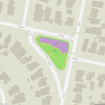
Alvarado Park
Alvarado Park Map
About Alvarado Park in Richmond
Alvarado Park, located in Richmond, California, is a historic subsection of Wildcat Canyon Regional Park. Established in 1909, it was originally known as Grand Canyon Park and served as a private recreation area for local residents until 1923. The park spans 42.5 acres at the mouth of Wildcat Canyon and is recognized as a National Historic Place.
The park's rich history is evident in its distinctive features, including extensive stone masonry, retaining walls, and classical stone lampposts. A notable stonework bridge spans Wildcat Creek at the park's main entrance, adding to its rustic charm. These elements, constructed during the Depression era through various work programs, exemplify the "rustic park architecture" style popularized by the National Park Service.
Alvarado Park offers visitors a blend of natural beauty and recreational opportunities. The park provides access to Wildcat Creek and serves as a staging area for the Skyline Trail. Its location at the northern end of Wildcat Canyon Regional Park makes it a popular destination for hikers, mountain bikers, and equestrians seeking to explore the larger park system.
In 1985, the East Bay Regional Park District acquired Alvarado Park, integrating it into the broader Wildcat Canyon Regional Park. Since then, the district has undertaken several improvements while preserving the park's historic appearance. These enhancements include creek restoration efforts, renovated picnic areas with slate paving, and the addition of a disabled-accessible playground.
The park's history as a gathering place spans centuries. Native Americans once lived on the site, using it for acorn grinding. Later, Spanish settlers frequented the area for picnics, referring to it as Arroyo Cañada. Today, Alvarado Park continues to be a cherished spot for nearby communities, offering a relaxing natural environment just steps away from the busy streets of Richmond.