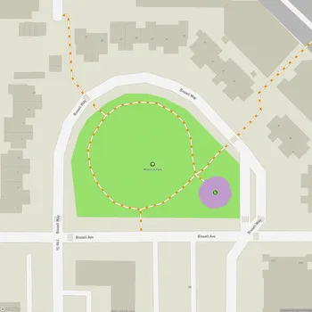
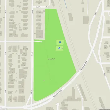
Richmond Greenway
Richmond Greenway Map
About Richmond Greenway in Richmond
The Richmond Greenway is a 3-mile long multi-use trail and linear park located in Richmond, California. Developed on a former railroad right-of-way, the greenway stretches from Garrard Boulevard in the west to San Pablo Avenue in the east, connecting the San Francisco Bay Trail with the Ohlone Greenway.
This urban trail provides a safe, traffic-free corridor for pedestrians and cyclists through densely populated neighborhoods in central Richmond. The greenway brings 32 acres of open space to an area that previously had limited recreational opportunities and green areas.
The Richmond Greenway serves multiple purposes beyond recreation. It offers an active transportation route, connecting residential areas with public transit, businesses, and civic destinations. The trail also incorporates environmental features such as community gardens, native plant landscaping, and stormwater management elements.
Community involvement has been a key aspect of the greenway's development and maintenance. Various local organizations collaborate to host events, maintain gardens, create public art, and organize improvement projects along the corridor.
While the greenway provides a valuable community asset, it has faced challenges including maintenance issues and safety concerns in some areas. Ongoing efforts by the city and community groups aim to address these challenges and continue enhancing the greenway's amenities and usability.