The Peoples' Crossing
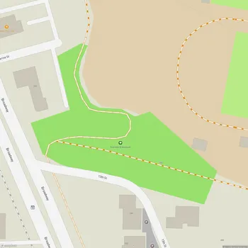
The Peoples' Crossing Map
About The Peoples' Crossing in Boulder
The Peoples' Crossing, formerly known as Settler's Park, is a significant area located in west Boulder, Colorado. Renamed in June 2021, the new title was developed by representatives from federally recognized American Indian Tribal Nations. The name change reflects the area's historical importance as a crossroads for Indigenous Peoples who have traversed and lived in the mountains and plains of the Boulder area since time immemorial.
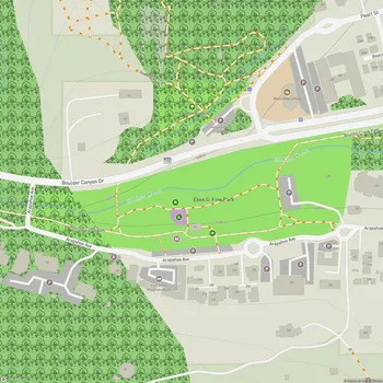
Situated below the iconic Red Rocks formation, The Peoples' Crossing offers stunning views of the Flatirons, a series of rock formations synonymous with Boulder's landscape. The park provides access to a network of scenic trails, including the Red Rocks Trails, which wind through ochre-colored sandstone spires and formations.
The area holds historical significance beyond its natural beauty. It is generally thought to be the location where Arapaho Chief Niwot, or Left Hand, informed gold seekers in October 1858 that they could not remain on Indigenous land as defined by the 1851 Treaty of Fort Laramie.
Open daily from 5 am to 11 pm, The Peoples' Crossing serves as a gateway to Boulder Canyon and nearby hills, offering opportunities for hiking, nature exploration, and enjoying panoramic views of Boulder. The park's renaming is part of Boulder's broader efforts to recognize and honor the area's Indigenous history and fulfill the city's Indigenous Peoples Day Resolution.