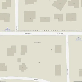
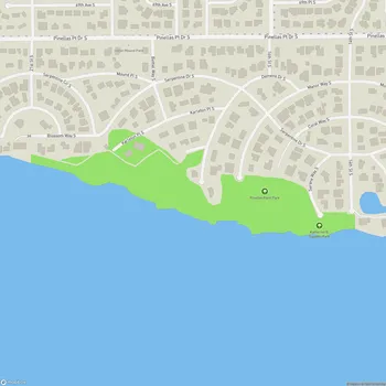
Maximo Park
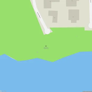
Maximo Park Map
About Maximo Park in St Petersburg
Maximo Park is a 70-acre waterfront park located in St. Petersburg, Florida, where Boca Ciega Bay meets Tampa Bay. It is the largest of the city's four archaeological sites, with a rich history dating back thousands of years. The park contains educational signs throughout describing the Native American tribes that once inhabited the area.
The land within Maximo Park was first occupied by Native Americans at least 4,500 years ago during the Late Archaic period. It was part of a much larger village that extended along Pinellas Point and included extensive shell middens, at least one burial mound, and a large platform mound. This was a major town site of the Tocobaga Indians, historic descendants of the Safety Harbor culture.
Today, Maximo Park offers a variety of recreational opportunities for visitors. The park features 1.2 miles of ADA accessible nature trails, allowing guests to explore the natural Florida landscape. The waterfront location provides opportunities for fishing and boating, with multiple boat ramps available for public use.
The park is named after Antonio Maximo Hernandez, thought to be the first white settler on the Peninsula in the mid-19th century. Maximo was a fisherman, businessman, guide, and landowner who was given a land grant for the property in 1843 for services he performed during the Seminole War.
Maximo Park combines natural beauty, historical significance, and modern recreational facilities, making it a unique destination in St. Petersburg for both residents and visitors alike.