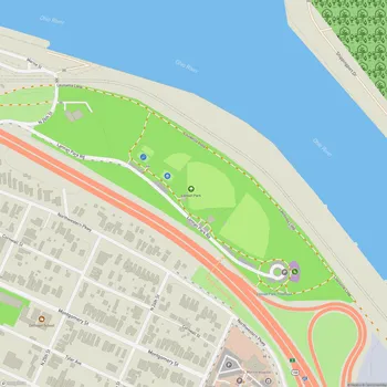
Portland Wharf Park
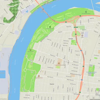
Portland Wharf Park Map
About Portland Wharf Park in Louisville
Portland Wharf Park is a historically significant 55-acre park located in Louisville, Kentucky, along the banks of the Ohio River. It lies just below the Falls of the Ohio and at the entrance to the Portland Canal. This site preserves the remnants of the original town of Portland, which was a thriving 19th-century river town. Today, the park primarily consists of a forested environment with dense trees and undergrowth, interspersed with mowed grass areas and an open meadow. It also includes archaeological remains, such as streets, sidewalks, building foundations, privies, cisterns, and numerous artifacts dating from the early 1800s to the early 1900s.
The park is bordered by significant landmarks: the Ohio River to the north, a railroad bridge to the east, a golf course to the west, and an earthen levee along with an elevated interstate highway to the south. It is designated as a National Historic Landmark and maintained by Louisville Metro Parks and Recreation. The park also serves as an educational resource with archaeological and interpretive work conducted in collaboration with institutions like the Portland Museum and the Kentucky Archaeological Survey.
Visitors can explore this rich historical site through its walking paths and trails, which are part of the Louisville Loop. While the site is known for its historical significance, it also faces challenges such as streambank erosion, which are being addressed through stabilization projects in collaboration with the U.S. Army Corps of Engineers. The park offers opportunities to learn about Louisville’s maritime past and the development of infrastructure, such as the canal locks, that shaped the region.