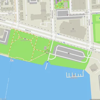
Fort Armistead Park
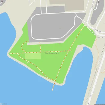
Fort Armistead Park Map
About Fort Armistead Park in Baltimore
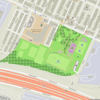
Fort Armistead Park is located in Baltimore, Maryland, situated at the southeastern edge of the city near Hawkins Point. This 22-acre park offers visitors a unique blend of historical significance and recreational opportunities. The park is named after Major George Armistead, who commanded Fort McHenry during the War of 1812.
Originally constructed between 1897 and 1901, Fort Armistead was part of the Endicott Program, a coastal defense system designed to protect Baltimore's harbor. The fort included several gun batteries and a mine casemate for controlling naval minefields in the harbor. Although it never saw military action, the fort briefly served as an emergency hospital during World War I and as a munitions storage facility in World War II.
Today, Fort Armistead Park provides public access to the Patapsco River shoreline and offers scenic views of the Francis Scott Key Bridge and the Baltimore harbor. The park's landscape is a mix of open grassy areas and wooded sections, with the abandoned fort structures adding a touch of historical intrigue. These structures, now covered in graffiti and partially reclaimed by nature, are popular among urban explorers and photographers.
Visitors to the park can engage in various activities such as fishing from the pier, hiking along informal trails, or simply enjoying a picnic with views of the water. The park's location makes it a prime spot for watching ships enter and leave the Port of Baltimore. However, it's worth noting that the park has faced challenges with maintenance and security over the years, leading to a somewhat neglected appearance in some areas.