Charles River Reservation
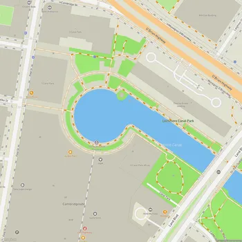
Charles River Reservation Map
About Charles River Reservation in Cambridge
The Charles River Reservation is a 20-mile linear park system stretching along the banks of the Charles River from Boston to Watertown, Massachusetts. This urban preserve encompasses 863 acres of parklands and water, offering a diverse range of recreational opportunities and natural scenery.
The reservation is divided into two main sections: the Lower Basin and the Upper Basin. The Lower Basin, which includes the Charles River Esplanade, extends from the Charles River Dam to the Watertown Dam. This section features more structured landscapes and urban amenities, reflecting its location in the heart of Boston and Cambridge. The Upper Basin, beginning at Watertown Square, presents a more natural environment with wooded areas and a meandering river.
Created in the early 20th century, the Charles River Reservation was part of a larger vision to provide urban residents with access to nature and outdoor recreation. The damming of the Charles River in 1910 transformed what was once a tidal estuary into a freshwater basin, allowing for the development of the park system we see today.
The reservation offers a continuous pathway along the river, including the Dr. Paul Dudley White Bike Path, which loops around the basin for 18 miles. This path, along with numerous pedestrian walkways, provides ample space for walking, jogging, and cycling. The river itself is a popular destination for boating activities, including kayaking, canoeing, and sailing.
Throughout the reservation, visitors can find a variety of landscapes, from manicured lawns and formal gardens to more natural areas that serve as habitats for local wildlife. The park system also includes several notable features, such as the Hatch Memorial Shell on the Esplanade, which hosts concerts and events, and the historic Watertown Dam.
The Charles River Reservation plays a crucial role in the ecology of the region, providing green space in densely populated urban areas and serving as a corridor for wildlife. It also helps to mitigate flooding and improve water quality in the Charles River.