Little Blue Trace Trailhead
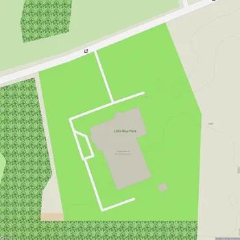
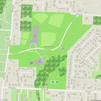
Little Blue Trace Trailhead Map
About Little Blue Trace Trailhead in Independence
Little Blue Trace County Park, located in Independence, Missouri, spans over 1,856 acres and follows the Little Blue River for roughly 15.5 miles, making it a haven for outdoor enthusiasts. The park’s centerpiece is the Little Blue Trace Trail, a multi-use trail ideal for hiking, biking, and jogging. This trail connects urban, suburban, and pastoral environments, with its crushed gravel and paved surfaces providing accessibility for all skill levels. Along the trail, visitors can enjoy scenic views, including a small waterfall at mile marker 7, various bridges (some historic), and opportunities for wildlife observation, such as deer and wild turkeys.
In addition to the trail, which begins at Blue Mills Road and extends south to Phelps Road, the park offers several amenities that cater to both casual visitors and serious outdoor adventurers. These include four shelters, 30 picnic tables, and restroom facilities strategically located along the trail. Several parking areas provide convenient access points, making it easy for visitors to plan their route or enjoy a short outing. The trail also features safety measures like emergency call stations and trail coordinates for added security.
The park is suitable for families, with amenities for strollers and child-friendly areas, as well as pet owners, provided pets are leashed. While the trail is mostly flat, a few areas involve steep climbs, especially where the trail intersects main roadways. Furthermore, its sun-exposed stretches require visitors to prepare for hotter conditions. Whether you’re looking to walk, bike, exercise, or unwind amidst nature, Little Blue Trace County Park serves as a versatile and well-maintained recreational space.