Wedekind Regional Park
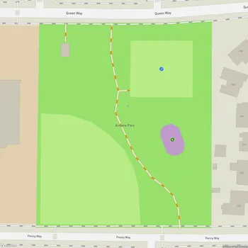
Wedekind Regional Park Map
About Wedekind Regional Park in Sparks
Wedekind Regional Park is a 250-acre expanse of open space located in Sparks, Nevada. The park is largely defined by its rich geologic history and serves as a key link to the Sparks Regional Trail System and the surrounding neighborhood urban trail system. As Sparks has become more developed, Wedekind Regional Park has become one of the last remaining areas of significant open space within the city.
The park's geological history dates back 16 million years, when the region experienced volcanic eruptions that shaped the landscape. Subsequent geothermal activity and hydrothermal alteration processes have resulted in the unique rock formations and colorful landscapes visible today. The area is capped by quartz-alunite, a hard, erosion-resistant type of natural alteration found throughout Western Nevada.
Wedekind Regional Park also has a notable mining history. In 1895, George Wedekind began prospecting in the area and discovered silver, gold, and lead ore. This discovery led to the establishment of the Wedekind mine, which can be seen across the street from the park. By 1900, nearly 50 exploratory tunnels had been dug in the surrounding area.
In recent years, the park has undergone significant improvements. These include the construction of a parking lot at the Disc Drive Trailhead, trail system upgrades, revegetation efforts, and the installation of split rail fencing to discourage off-highway vehicle usage and illegal dumping. The park's 4th Street Trailhead now features an outdoor classroom, allowing students to have interactive learning experiences about the park's mining history.
Wedekind Regional Park offers visitors a network of trails suitable for hiking and provides panoramic views of the Reno, Sparks, and Spanish Springs areas. The park's natural setting and open spaces make it an ideal location for those seeking a peaceful retreat within the city limits.