Old Erie Canal State Historic Park - North Burdick Street
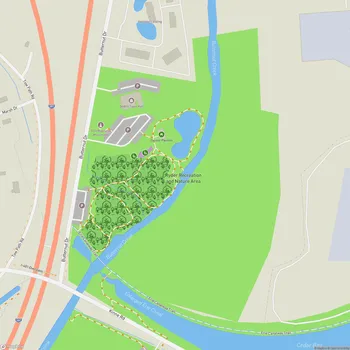
Old Erie Canal State Historic Park - North Burdick Street Map
About Old Erie Canal State Historic Park - North Burdick Street in Syracuse
Old Erie Canal State Historic Park is a 36-mile linear park that preserves a significant portion of the original Erie Canal's Long Level section. The park stretches from Butternut Creek in DeWitt, just east of Syracuse, to the outskirts of Rome, New York. It encompasses restored segments of the canal's waterway and towpath that were in active use between 1825 and 1917.
The park's terrain is a mix of woodland and wetland, offering visitors a glimpse into the natural beauty of central New York. The historic towpath, which has been resurfaced with asphalt and stone dust, serves as the main trail through the park. This trail is suitable for various activities including hiking, biking, and horseback riding. In winter, the trail is also open for snowmobiling.
Along the park's route, visitors can observe remnants of the canal's infrastructure, including stone aqueducts and bridges. These structures provide insight into the engineering feats accomplished during the canal's construction and operation. The park passes through or near several communities, including Fayetteville, Manlius Center, Kirkville, Chittenango, Canastota, Durhamville, and New London, offering opportunities to explore local history and culture.
The Old Erie Canal State Historic Park not only serves as a recreational resource but also as an educational one. It offers a unique opportunity to experience a crucial piece of American history, showcasing the role of the Erie Canal in the country's westward expansion and economic development during the 19th century.