South Side Park
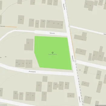
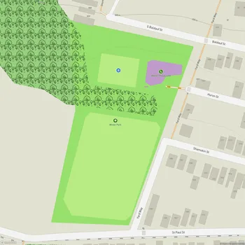
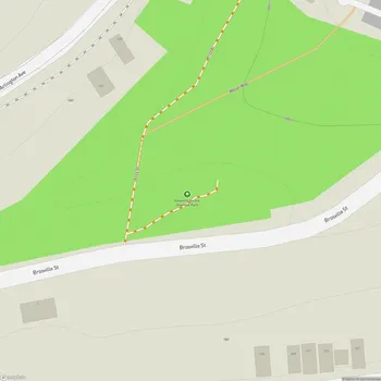
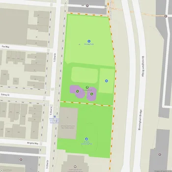
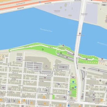
South Side Park Map
About South Side Park in Pittsburgh
South Side Park is a 65-acre urban park located in Pittsburgh, Pennsylvania, situated in the South Side Slopes neighborhood. The park occupies a ravine that divides the South Side Slopes, extending to the former site of the Oliver Ormsby estate in Mount Oliver.
The park's history reflects the industrial past of Pittsburgh. In the late 1800s and early 1900s, the land was used for various industrial operations, including coal mining, coke ovens, and brickyards. The City of Pittsburgh first acquired land for the park in 1934 with a 5.5-acre gift along Saint Patrick Street. Over time, the area transitioned from an industrial site to a public green space.
South Side Park features a mix of developed recreational areas and natural landscapes. The park includes wooded trails that offer expansive views of Pittsburgh's skyline, including downtown skyscrapers, the Birmingham Bridge, and parts of the South Side Flats. The terrain is characterized by steep slopes, making it a challenging and interesting space for hiking and exploration.
In recent years, efforts have been made to address environmental issues within the park. The park is located in the M-16 combined sewershed, and projects have been implemented to manage stormwater runoff and erosion. Green infrastructure initiatives aim to improve water quality in the Monongahela River by capturing and slowing runoff from impervious surfaces.
Community involvement plays a significant role in the park's maintenance and development. Local organizations such as the South Side Slopes Neighborhood Association and Friends of South Side Park have been active in organizing clean-ups, removing invasive species, and improving trails.