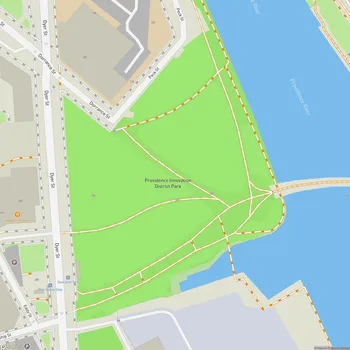
India Point Park
India Point Park Map
About India Point Park in Providence
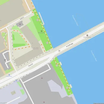
India Point Park is an 18-acre public green space located along the waterfront in Providence, Rhode Island. Situated at the confluence of the Seekonk and Providence Rivers where they widen into Narragansett Bay, the park offers expansive views of the Providence Harbor.
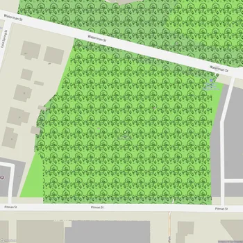
The park features 3,600 feet of shoreline accessible to the public, making it a popular spot for walking, jogging, and enjoying water views. Paved and stone dust walking paths wind through the park, shaded by mature trees that provide a pleasant environment for strolling or relaxing. The park's location makes it a prime vantage point for watching boats and ships traversing the harbor.
India Point Park has historical significance as Providence's first port, established in 1680. For over 250 years, it served as a center of maritime trade, particularly for tea and spice imports from the East Indies - which gave the area its name. Today, informational signs throughout the park detail this rich history.
The park was formally established in 1974 after years of effort to transform the former industrial area into public green space. A recent addition is a wide pedestrian bridge over Interstate 195, which better connects the park to the surrounding Fox Point neighborhood.
India Point Park hosts various community events throughout the year, including summer concerts, festivals, and Providence's annual Fourth of July fireworks display. Its combination of natural beauty, waterfront access, and historical interest make it a valued public space for both Providence residents and visitors.