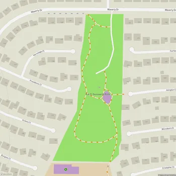
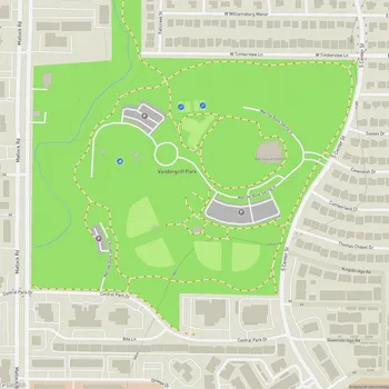
Gateway Park
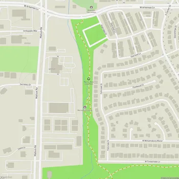
Gateway Park Map
About Gateway Park in Arlington
Gateway Park is a significant recreational area located in Arlington, Texas. Spanning approximately 791.5 acres, it is Fort Worth's only metropolitan park and is larger than more than thirty Texas State Parks. The park stretches over two miles in length and spans parts of two ZIP codes.
Established in 1979 when the Fort Worth city council approved setting aside 160 acres for the park, Gateway Park has since grown substantially through land purchases, donations, and easement arrangements. Much of the original acreage was previously part of the Riverside Wastewater Treatment Plant.
The park is part of the Johnson Creek Corridor plan and serves a dual purpose as both a recreational space and a flood control measure. A key feature of the park is its detention basin, which stores floodwaters and acts as the focal point of the park's design.
Gateway Park offers a variety of outdoor activities and features. It includes bike and hiking trails, picnic areas, and sports fields. In 2009-2010, the Fort Worth Mountain Bike Association created a 5.5-mile extension to existing mountain bike trails in the park. The park also features disc golf facilities, developed through volunteer efforts.
Annually, Gateway Park receives approximately 600,000 visits from across the county and beyond, making it a popular destination for both local residents and visitors to the area. The park's location along a bend of the Trinity River and its heavily wooded areas provide a natural retreat within the urban environment.