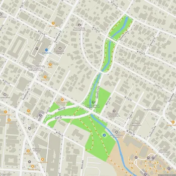
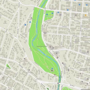
Shoal Creek Greenbelt
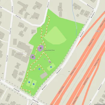
Shoal Creek Greenbelt Map
About Shoal Creek Greenbelt in Austin
Shoal Creek Greenbelt is an urban park and trail system located in the heart of Austin, Texas. The greenbelt follows the course of Shoal Creek, stretching approximately 3.7 miles from 38th Street in the north to Lady Bird Lake in the south. This long, narrow park cuts through central Austin, offering a natural respite from the surrounding urban environment.
The park features a varied landscape, with sections of the trail passing through small rocky canyons, under canopies of old oak trees, and alongside limestone cliffs. The trail surface alternates between concrete, crushed gravel, and compacted dirt, providing diverse walking and biking experiences. At certain points, the creek widens and forms pools, some of which are fed by natural springs.
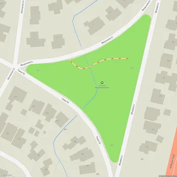
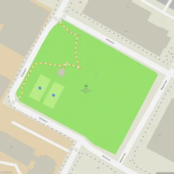
Shoal Creek Greenbelt incorporates several smaller parks along its length, including Pease Park and Duncan Park, which offer additional recreational facilities. The trail also passes by historical points of interest, such as the remnants of an old railroad bridge dating back to 1928.
The greenbelt serves as an important corridor for urban wildlife and supports a variety of native plant species. Recent restoration efforts have added native trees such as bigtooth maples, Mexican plums, and various oak species to enhance the park's ecological value.
As Austin's oldest hike and bike trail, Shoal Creek Greenbelt plays a significant role in the city's outdoor recreation scene. It provides a popular route for joggers, cyclists, and dog walkers, connecting residential neighborhoods to downtown Austin. The trail's southern terminus links up with the Ann and Roy Butler Hike-and-Bike Trail around Lady Bird Lake, allowing for extended exploration of Austin's green spaces.