Murchison Rogers Park
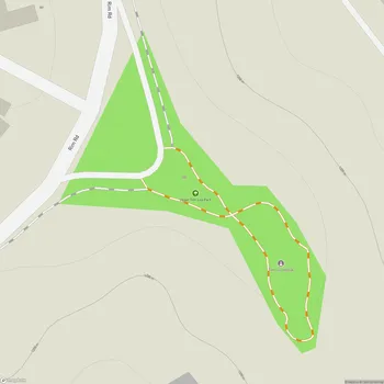
Murchison Rogers Park Map
About Murchison Rogers Park in El Paso
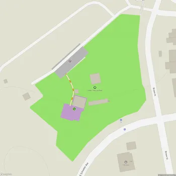
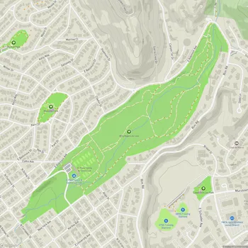
Murchison Rogers Park is a small overlook park located on the southern tip of the Franklin Mountains in El Paso, Texas. Situated at an altitude of 4,200 feet, the park offers panoramic views of El Paso, Texas and Ciudad Juarez, Mexico across the Rio Grande.
The park was named after El Paso pioneer and businessman Samuel Macintosh Murchison and opened to the public in 1963. It was developed through grassroots fundraising efforts by Louise Murchison, Samuel's wife, along with members of the Women's Department of the Chamber of Commerce.
Accessing Murchison Rogers Park can be challenging. Visitors can drive up a winding, steep, and narrow mountain road called Scenic Drive to reach a small parking lot at the highest point. Alternatively, pedestrians can walk, run, or bike up during limited road closures on weekends.
The park itself is situated about ten feet vertically below the parking area, which has created accessibility issues in the past. Recent redevelopment plans aim to improve accessibility by creating a sloped 'wedge' connecting the parking lot to the overlook while preserving unique rock outcroppings.
Murchison Rogers Park is known for its stunning views, especially at sunset. The park offers a vantage point to observe the city lights of El Paso and Ciudad Juarez, as well as starry night skies. Recent improvements have added shaded areas, seating, and picnic spaces to enhance visitor comfort and extend the park's usability.