Saint Mark's Greenbelt
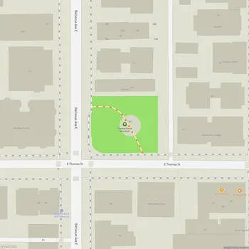
Saint Mark's Greenbelt Map
About Saint Mark's Greenbelt in Seattle
St. Mark's Greenbelt is an urban green space located in Seattle, Washington. The greenbelt borders East Blaine Street to the west and A10th Avenue East to the east, with its northern and southern boundaries blending into the surrounding residential areas. This natural area serves as a buffer between the Capitol Hill neighborhood and Interstate 5, helping to reduce noise pollution from the highway.
The greenbelt provides valuable wildlife habitat within the city, featuring dense vegetation and a network of trails. A small creek runs through the western portion of the greenbelt, weaving through corrugated pipes both above and underground. The area offers a peaceful escape for urban dwellers, allowing them to immerse themselves in nature and enjoy leisurely walks.
In 1993, the city added St. Mark's Greenbelt to a list of properties protected by the green space policy. Later in the 1990s, the Streissguth family donated additional land to the greenbelt, which included a permanent garden. The greenbelt has faced challenges with invasive plant species, particularly holly and ivy, which have overrun parts of the area in recent years.
Access to the greenbelt is available from St. Mark's Cathedral on 10th Avenue East. A steep trail through the southern part of the greenbelt can be accessed from trailheads in the south and southwest portions of the St. Mark's parking lot.