Thunderbird Conservation Park
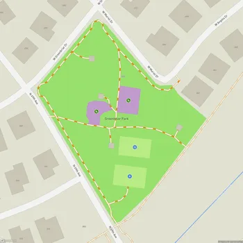
Thunderbird Conservation Park Map
About Thunderbird Conservation Park in Glendale
Thunderbird Conservation Park is a 1,185-acre natural preserve located in Glendale, Arizona. The park is situated in the Hedgpeth Hills, named after Robert Hedgpeth, an early homesteader in the area. The park's name derives from a World War II pilot training facility that was once located four miles south of the current park grounds.
The City of Glendale acquired the park in 1951 through a lease with the federal government, and full ownership was secured in 1956 with assistance from local community groups. From 1963 to 1984, Maricopa County operated the park and made many improvements. In 1984, management of the park returned to the City of Glendale.
Thunderbird Conservation Park is dedicated to preserving the desert environment while providing recreational opportunities for visitors. The park features approximately 15 miles of multi-use trails that wind through the scenic Sonoran Desert landscape. These trails accommodate various activities including hiking, horseback riding, mountain biking, and jogging. The park's diverse terrain offers routes for different skill levels, from easy walks to more challenging hikes.
The park is home to a variety of desert flora and fauna. Visitors may encounter native plant species such as saguaro cacti, ocotillos, and creosote bushes. Wildlife in the park includes various bird species, making it a popular spot for birdwatching. The park has four wildlife viewing blinds, including one that is handicap accessible, offering opportunities to observe the park's diverse ecosystem.
Thunderbird Conservation Park is open daily from sunrise to sunset. The main entrance is located on 59th Avenue between Deer Valley and Pinnacle Peak roads. The park can get crowded during peak times, particularly on weekends, so visitors are encouraged to arrive early for a more serene experience.