San Vicente Mountain Park
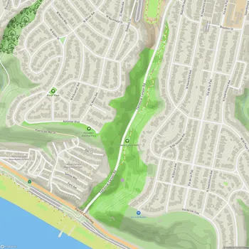
San Vicente Mountain Park Map
About San Vicente Mountain Park in Los Angeles
San Vicente Mountain Park is a 10.2-acre public park located in the eastern Santa Monica Mountains, approximately 2.7 miles west of the 405 freeway in Los Angeles, California. The park is situated on an unpaved portion of Mulholland Drive, offering visitors stunning 360-degree views of the surrounding landscape, including the San Fernando Valley, the Santa Monica Mountains, and the Los Angeles Basin.
Originally serving as a Nike missile control site during the Cold War from 1956 to 1968, San Vicente Mountain Park now stands as a testament to the area's military history. The park was incorporated into the Santa Monica Mountains National Recreation Area and opened to the public in 1996. Today, it serves as an educational site, with interpretive displays explaining its former role in national defense.
The park's centerpiece is a renovated radar tower that now functions as an elevated observation deck, providing one of the region's premier locations for watching sunsets. Visitors can climb approximately 60 steps to reach the top of the tower and enjoy panoramic views of the surrounding area.
San Vicente Mountain Park acts as a gateway to a larger network of outdoor spaces, including Westridge Canyonback Park and the 20,000-acre "Big Wild" wilderness area. It offers access to an extensive network of hiking, mountain biking, and equestrian trails, making it a popular destination for outdoor enthusiasts.
The park is accessible via a short walk along a wide dirt road from the parking area. While the trail to the park has a slight incline, it is generally considered not strenuous, making it suitable for visitors of various fitness levels.