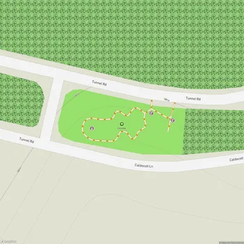
Shepherd Canyon Park
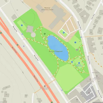
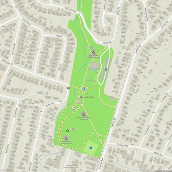
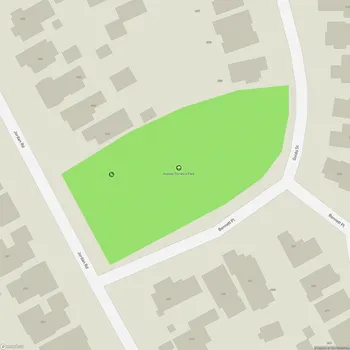
Shepherd Canyon Park Map
About Shepherd Canyon Park in Oakland
Shepherd Canyon Park is a public park located in Oakland, California. Spanning approximately 34 acres, the park was established in 1975 as part of the Shepherd Canyon Corridor Plan, which halted a proposal to construct Highway 77 through the area. The park is named after the Shepherd Family, early Oakland settlers who lived on the land during the late 1800s.
The park features a diverse landscape, including playing fields, hillside trails, and a natural creek environment. The playing fields, which are popular for youth sports on weekends, are situated atop what was once the middle portion of Shepherd Creek's natural channel. This creek eventually joins Palo Seco Creek to form Sausal Creek as it flows into Dimond Canyon below.
Shepherd Canyon Park offers visitors a range of outdoor activities and experiences. The hillside trails provide excellent hiking opportunities, with some paths offering scenic sunset views of the surrounding area. For those interested in a longer trek, the park can be accessed via the Montclair Railroad Trail, which leads up from Montclair Village.
In 2008, a parking lot was completed to improve accessibility for visitors arriving by car. The park also includes a small climbing structure for children and a secluded picnic area with creek access on the back side of the park off Escher Drive. This area features a rope swing, adding to the park's recreational offerings.
The park is known for its natural beauty and tranquil atmosphere, providing a peaceful retreat within the urban environment of Oakland. It serves as a valuable green space for local residents and visitors alike, offering opportunities for exercise, relaxation, and community gatherings.