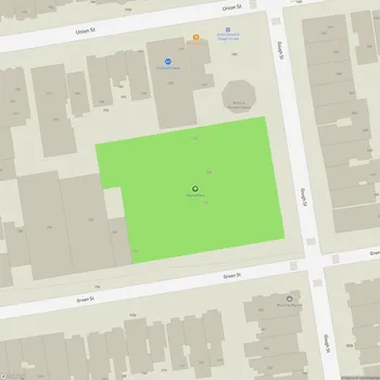
Marina Green
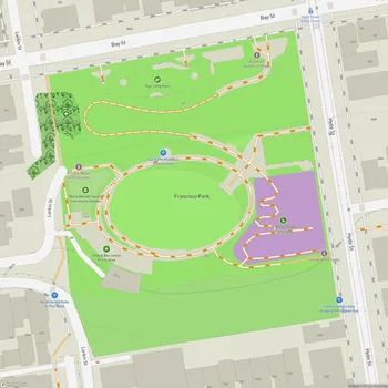
Marina Green Map
About Marina Green in San Francisco
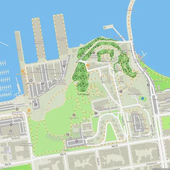
Marina Green is a 74-acre expanse of grass located in San Francisco, California, nestled between Fort Mason and the Presidio. This waterfront park offers stunning views of San Francisco Bay, including iconic landmarks such as the Golden Gate Bridge, Alcatraz Island, and Angel Island. The park's location provides visitors with a unique vantage point to appreciate the city's natural beauty and maritime culture.
Originally a tidal marsh, the area was transformed after the 1906 earthquake when debris from the city's destruction was used as landfill. By 1915, the newly developed land became part of the Panama-Pacific International Exposition, showcasing San Francisco's resilience and renewal. Today, Marina Green stands as a testament to the city's history and its commitment to providing public green spaces.
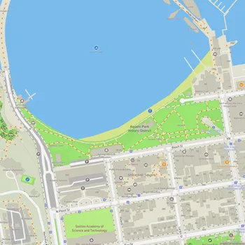
The park is a popular destination for both locals and tourists, offering a wide range of recreational activities. Its expansive lawns are ideal for picnicking, kite flying, and casual sports. The paved pathways that surround the green are frequently used by joggers, cyclists, and walkers, providing an excellent route for exercise with scenic bay views.
Adjacent to Marina Green is a marina, home to the St. Francis Yacht Club and the Golden Gate Yacht Club, adding to the area's nautical atmosphere. The San Francisco Bay Trail runs through the green, connecting it to other waterfront attractions and parks in the city.
Marina Green has also played a role in aviation history. For a brief period beginning in 1920, it served as Montgomery Airfield, named in honor of pioneer aviator John J. Montgomery. The park was also the site of the first public flight of the Hiller XH-44 helicopter in 1944.
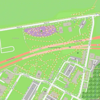
The park is surrounded by the Marina District, known for its beautiful houses built mostly in the 1920s and 1930s. These homes, with their large bay windows, add to the charm of the area and provide a glimpse into San Francisco's architectural heritage.