Presidio Tunnel Tops
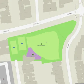
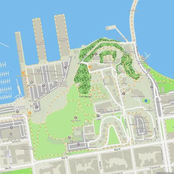
Presidio Tunnel Tops Map
About Presidio Tunnel Tops in San Francisco
Presidio Tunnel Tops is a 14-acre park located in San Francisco, California, within the larger Presidio national park site. Opened to the public in July 2022, the park was built on top of the Presidio Parkway tunnels, connecting the Main Post area of the Presidio to Crissy Field and the waterfront.
The park offers panoramic views of San Francisco Bay, including iconic landmarks such as the Golden Gate Bridge, Alcatraz Island, Angel Island, and the city skyline. Designed by James Corner Field Operations, the same firm behind New York City's High Line, Presidio Tunnel Tops features a variety of landscapes and amenities for visitors to enjoy.
The park is divided into three main zones. The first is a flat "platform" area at the same level as the Presidio's main parade ground, which serves as an extension of the historic military base and provides 360-degree views. The second zone is the Cliff Walk, a series of trails and gathering spaces that wind along the park's slope, offering changing perspectives of the surrounding landmarks. The third zone, located at the lower portion of the park, includes the Outpost playground and educational facilities.
Presidio Tunnel Tops incorporates various natural elements, including over 200,000 plants and trees, many of which are native to the Presidio. The park's design prioritizes accessibility, with paved walking paths that are wheelchair and stroller friendly.
The creation of Presidio Tunnel Tops was a collaborative effort involving multiple organizations, including the Presidio Trust, the National Park Service, and the Golden Gate National Parks Conservancy. The project cost $118 million, with $98 million raised through private donations.