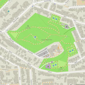
Buena Vista Park
Buena Vista Park Map
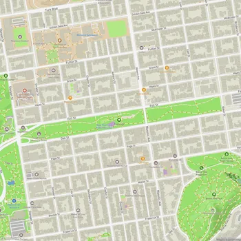
About Buena Vista Park in San Francisco
Buena Vista Park, located in San Francisco, California, holds the distinction of being the city's oldest official park, established in 1867. Originally named Hill Park, it was later renamed Buena Vista, which means "good view" in Spanish, aptly describing its scenic vistas.
The park encompasses 37 acres of land, situated on a steep hill that reaches a peak elevation of 575 feet. Its location offers visitors panoramic views of the city, including sights of Golden Gate Park, the Pacific Ocean, and on clear days, the coastline stretching northward to Drake's Bay.
Buena Vista Park features a network of winding trails that meander through its terrain. The park is home to one of San Francisco's few remaining coastal live oak groves, adding to its natural beauty and ecological significance. The trails are lined with gutters constructed by WPA workers in the 1930s, using broken headstones from the city's Victorian-era cemeteries that were relocated to Colma.
The park's layout takes advantage of its steep topography, offering various lookout points for visitors to enjoy the sweeping vistas. One notable viewpoint is "The Window," located on the western side of the hill, which provides expansive views of the surrounding area.
Buena Vista Park has undergone several renovations and improvements over the years. In the late 1970s and early 1980s, efforts were made to address erosion control and enhance the park's path system. More recent upgrades have included the renovation of recreational facilities and the creation of new landscape designs.
Today, Buena Vista Park serves as a tranquil urban oasis, offering residents and visitors alike a chance to experience nature and stunning city views in the heart of San Francisco.