Oleta River State Park
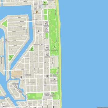
Oleta River State Park Map
About Oleta River State Park in Miami
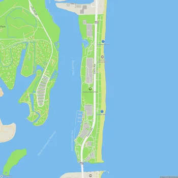
Oleta River State Park is Florida's largest urban park, spanning 1,033 acres along Biscayne Bay in North Miami Beach. The park offers a natural oasis within the bustling Miami metropolitan area, centered around the Oleta River, the last natural river in Miami-Dade County.
The park features diverse ecosystems, including mangrove forests, tidal lagoons, and hardwood hammocks. These habitats support a variety of wildlife, including wading birds, fish, and occasionally manatees. The park's beach along Biscayne Bay provides calm waters for swimming and sunbathing, contrasting with the more crowded ocean beaches nearby.
Oleta River State Park is renowned for its extensive network of off-road bicycling trails, totaling about 15 miles. These trails range from novice paths to challenging routes for experienced mountain bikers. Additionally, the park offers paved trails for casual cycling, inline skating, and walking.
Water activities are a major draw, with opportunities for kayaking, canoeing, and stand-up paddleboarding along the Oleta River and into Biscayne Bay. The calm waters of the river's mangrove-lined channels provide an ideal setting for paddlers of all skill levels.
For overnight stays, the park offers rustic air-conditioned cabins and a primitive campground for youth groups. Fishing is popular from the park's pier and shoreline, with anglers often catching snook, snapper, and jack.
The park serves as an important ecological and recreational resource in urban Miami, providing opportunities for outdoor activities and nature appreciation just minutes from the city center.