Freedom Park
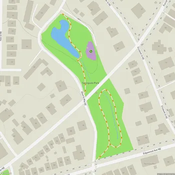
Freedom Park Map
About Freedom Park in Atlanta
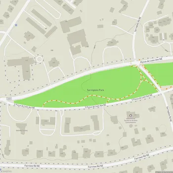
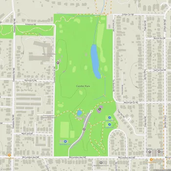
Freedom Park is one of the largest public parks in Atlanta, Georgia, spanning approximately 210 acres. The park forms a unique cross shape, with its axes intersecting at the Carter Center. It stretches from west to east, starting just west of Boulevard and extending to Candler Park, and from north to south between Ponce de Leon Avenue and the Inman Park/Reynoldstown MARTA station.
The park has a rich history, emerging from a contentious past. In the 1960s and 1970s, the land was originally slated for highway development, but strong community opposition and activism led to the preservation of the area as a public green space. Freedom Park was officially dedicated on September 19, 2000, transforming what was once a site of potential urban division into a symbol of community unity.
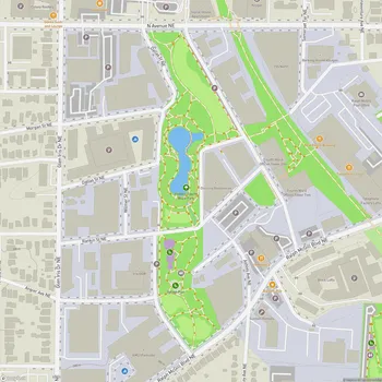
Freedom Park serves as a vital connector, linking several of Atlanta's historic neighborhoods including Inman Park, Old Fourth Ward, Poncey-Highland, Candler Park, Druid Hills, and Lake Claire. It also connects significant cultural landmarks such as the Carter Center and the Martin Luther King Jr. National Historic Site.
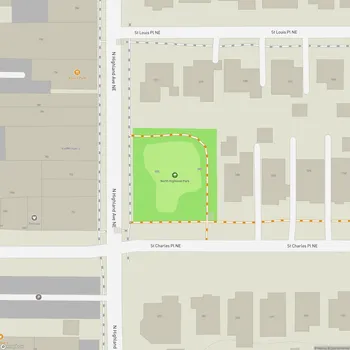
The park features approximately six miles of multi-use PATH Foundation trails, making it popular for walking, jogging, and cycling. These paved paths weave through gently rolling terrain, offering visitors a mix of sunny open areas and shaded sections under mature trees.
As Atlanta's designated Art Park, Freedom Park is home to various temporary and permanent art installations created by artists of international renown. These artworks add cultural and aesthetic value to the park experience, encouraging visitors to engage with both nature and artistic expression.
Freedom Park not only provides recreational opportunities but also serves as an important green corridor in the urban landscape. Its expansive acreage offers valuable ecosystem services, including improved air quality, stormwater management, and habitat for urban wildlife.