Park No. 567
Park No. 567 Map
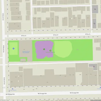
About Park No. 567 in Chicago
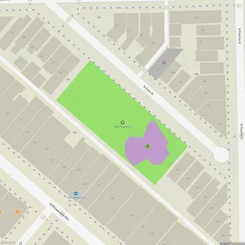
Park No. 567 is a small passive green space located in the West Town community of Chicago, situated at the corner of Milwaukee Avenue and Leavitt Street. Covering just 0.33 acres, the park serves as one of the many access points to the larger 606 park and trail system, a unique elevated greenway on Chicago's Northwest Side that connects multiple neighborhoods, including Wicker Park, Bucktown, Humboldt Park, and Logan Square.
This compact park is designed to provide a peaceful environment for relaxation and reflection. Its features include a walking path bordered by artistic rock arrangements and a modest area of greenspace. While limited in size, Park No. 567 plays a vital role as part of the broader Bloomingdale Trail (The 606), which repurposes former railroad infrastructure into an innovative public space. The trail above offers opportunities for walking, biking, and community engagement, enhancing accessibility for nearby residents.
Historically, the land was transferred to the Chicago Park District in 2011 from city ownership. It has since been developed into a pocket park that complements the ambitious vision of the 606 project. This development transformed a former industrial rail corridor into a vibrant link for Chicago’s diverse communities. Park No. 567 continues to offer a serene gateway to this revitalized urban amenity.