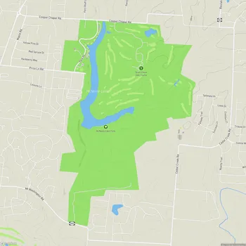
Broad Run Park
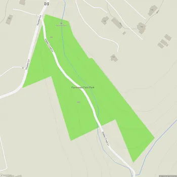
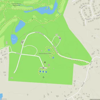
Broad Run Park Map
About Broad Run Park in Louisville
Broad Run Park is a sprawling 821.8-acre natural oasis located in Louisville, Kentucky. Opened in 2016, it is the last and southernmost park in The Parklands of Floyds Fork system. The park encompasses approximately 600 acres of diverse landscapes, including waterfalls, hardwood forests, and scenic lookout points.
Situated along Floyds Fork Creek, Broad Run Park offers visitors a chance to immerse themselves in nature and enjoy various outdoor activities. The park features a network of well-maintained trails and paths that cater to different activity levels, making it suitable for both leisurely strolls and more challenging hikes. Visitors can explore trails such as Karst Climb, Lowland Plain, and Leatherwood, which showcase the park's natural beauty.
One of the park's notable features is the Cliffside Center, an active site complex located at the base of a cliff overlooking the southern limit of The Parklands. This area includes several amenities designed for visitor enjoyment and recreation. The park also boasts the Moss Gibbs Woodland Garden, adding to its diverse botanical offerings.
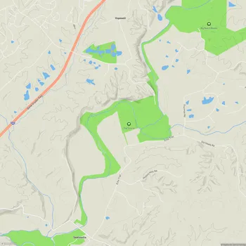
Broad Run Park is accessible from Turkey Run Park to the north or directly from Bardstown Road. As part of the larger Parklands system, it is connected to other parks via the Louisville Loop, a paved trail that extends through the entire park system, providing opportunities for walking, running, and cycling.
The park's design emphasizes conservation, with some areas designated as rewilding zones to protect and restore native habitats. While these conservation lands are barred from public use, visitors can still appreciate their beauty from designated viewing areas and picnic spots along the park's boundaries.