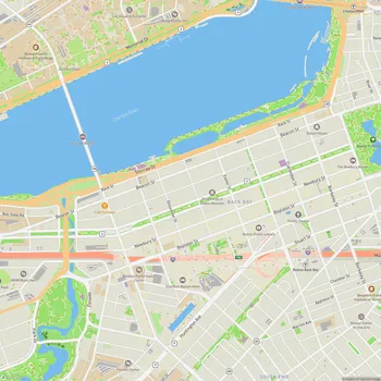
Charles River Esplanade
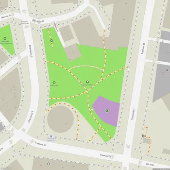
Charles River Esplanade Map
About Charles River Esplanade in Boston
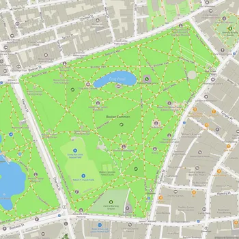
The Charles River Esplanade, located along the southern bank of the Charles River in Boston, spans 64 acres and extends approximately 3 miles from the Museum of Science to the Boston University Bridge. This state-owned park offers a vibrant green space amidst the urban environment, making it a beloved destination for both locals and tourists. The park, originally a tidal mudflat, has undergone multiple transformative redesigns since its establishment in 1910, with significant contributions from landscape architects like Arthur Shurcliff.
The park features paved walkways that cater to walkers, joggers, and bikers, all with picturesque views of the Charles River and Boston skyline. Iconic landmarks include the Edward A. Hatch Memorial Shell, an outdoor concert venue hosting free events such as the Boston Pops Fourth of July Celebration, and the Storrow Lagoon, a tranquil area for kayaking and paddleboarding. Additionally, the park is home to historic monuments, playgrounds, and the longstanding Community Boating program, which offers affordable sailing lessons.
Recreational amenities abound, from fields for sports like soccer and baseball to an array of playgrounds. Seasonal activities include fitness classes in the summer, movie nights, and cultural performances. Despite being divided from Boston neighborhoods by Storrow Drive, the Esplanade offers access through multiple pedestrian bridges, connecting visitors to this urban oasis. The Esplanade's rich history, scenic beauty, and range of activities make it a cherished part of Boston's cultural and recreational landscape.