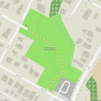
West Bouldin Creek Greenbelt
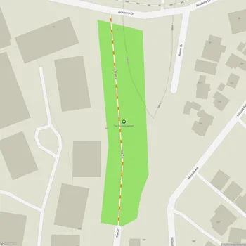
West Bouldin Creek Greenbelt Map
About West Bouldin Creek Greenbelt in Austin
West Bouldin Creek Greenbelt is a 16-acre natural area located in south Central Austin, Texas. The greenbelt follows the course of West Bouldin Creek, offering visitors a slice of nature within the urban environment. The park features a network of trails that wind through the wooded landscape, providing opportunities for hiking, jogging, and nature observation.
The terrain along West Bouldin Creek is varied, with some sections of the trail presenting more challenging topography than others. The park's trail system has been improved over time, with work done to ensure safe passage along the sometimes uneven ground. Visitors can expect to encounter a mix of natural surface paths and some improved sections.
West Bouldin Creek Greenbelt serves as an important green corridor in Austin, supporting local wildlife and contributing to the city's efforts in preserving natural habitats. The creek itself is a focal point of the park, though water levels can vary depending on recent rainfall.
In 2022, improvements were made to enhance access to the greenbelt. These upgrades included the installation of a new trailhead kiosk, repaving of the parking area, new fencing, and entry signs. These enhancements were the result of a collaboration between the Bouldin Creek Neighborhood Association and the city of Austin, funded through the city's Neighborhood Partnering Program.
While the greenbelt offers a retreat into nature, it's important for visitors to note that amenities are limited, in keeping with its natural character. The park is best suited for those seeking a more rustic outdoor experience within the city limits.