Bull Creek Greenbelt Park - Upper
Bull Creek Greenbelt Park - Upper Map
About Bull Creek Greenbelt Park - Upper in Austin
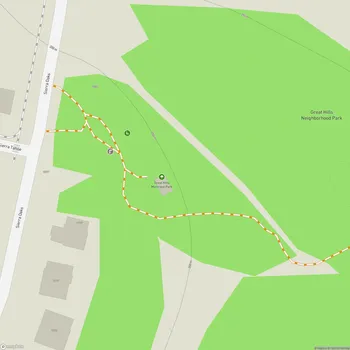
Bull Creek Greenbelt Upper is a natural area located in northwest Austin, Texas. The greenbelt follows Bull Creek as it winds through limestone cliffs and wooded areas. The upper portion of the greenbelt begins near the intersection of Spicewood Springs Road and Adirondack Trail, extending north along the creek.
The area features hiking trails that run alongside Bull Creek, offering visitors the opportunity to explore the natural landscape. The creek itself contains small waterfalls, pools, and limestone formations. During wetter seasons, the creek flow increases and some trail crossings may require wading through shallow water.
Bull Creek Greenbelt Upper is known for its scenic beauty, with limestone cliffs, springs, and diverse plant and animal life. Visitors may spot various bird species, fish, and turtles along the creek. The trails are popular among hikers, mountain bikers, and nature enthusiasts. Dogs are also welcome in the park, though they must be kept on a leash.
The greenbelt provides a natural retreat within the urban environment of Austin. However, it's worth noting that the area can become crowded, especially on weekends and during pleasant weather. Trail conditions can vary depending on recent rainfall, with some sections potentially becoming muddy or slippery.
While offering recreational opportunities, Bull Creek Greenbelt Upper also plays an important ecological role. The area helps protect water quality in Bull Creek and provides habitat for local wildlife. Visitors are encouraged to practice Leave No Trace principles to help preserve the natural environment.