Covert Park at Mount Bonnell
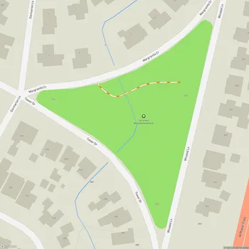
Covert Park at Mount Bonnell Map
About Covert Park at Mount Bonnell in Austin
Covert Park at Mount Bonnell is a prominent natural landmark and popular tourist destination in Austin, Texas. Located alongside the Lake Austin portion of the Colorado River, Mount Bonnell rises to an elevation of 775 feet above sea level, making it one of the highest points within Austin city limits.
The park spans 5.36 acres and was donated to Travis County in 1939 by the family of Frank Covert, Sr. It was later transferred to the City of Austin in 1972. Mount Bonnell has been a favored spot for visitors since the 1850s, offering panoramic views of the Austin skyline, Lake Austin, and the surrounding Hill Country landscape.
To reach the summit, visitors must climb a limestone stairway consisting of approximately 102 steps. At the top, there is a viewing platform and several small picnic areas accessed by short trails. These areas feature stone tables and benches, providing spaces for visitors to relax and enjoy the scenery. A carved limestone monument stands on a star-shaped plaza, commemorating the Covert family's donation of the land.
The park retains much of its natural character, with rocky limestone outcrops interspersed with native vegetation such as mountain laurel, live oak, and Ashe juniper trees. In 2006, Covert Park at Mount Bonnell became part of the Balcones Canyonlands Preserve, which protects over 30,000 acres of endangered habitat in Travis County.
Visitors should note that the park has limited facilities. There are no public restrooms or water fountains available, so it's advisable to bring water, especially during hot summer months. The park is open daily from 5:00 AM to 10:00 PM, allowing for both sunrise and sunset viewing opportunities.