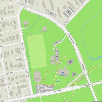
Boggy Creek Greenbelt
Boggy Creek Greenbelt Map
About Boggy Creek Greenbelt in Austin
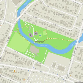
Boggy Creek Greenbelt is an urban green space located in East Austin, Texas. The greenbelt follows the course of Boggy Creek, providing a natural corridor through the city. The trail system within the greenbelt extends from the Capital Metro MLK Jr. Station to Rosewood Avenue, offering residents and visitors a slice of nature in an urban setting.
The northern section of the trail, from Capital Metro MLK Jr. Station to E. 12th Street, features an urban trail designed for both pedestrians and cyclists. This portion opened to the public in July 2019. The southern section, from E. 12th Street to Rosewood Avenue, was completed in February 2021 and includes a dual-track trail that separates walkers from cyclists and other wheeled users.
Boggy Creek Greenbelt is characterized by its diverse vegetation, including mature oak and pecan trees that provide ample shade along the trail. The greenbelt serves as a habitat for local wildlife and offers opportunities for birdwatching and nature observation. The creek itself is a central feature, though water levels can vary depending on recent rainfall.
The greenbelt is part of Austin's larger urban trail network, connecting to both the EastLink Trail and the Red Line Trail systems. It plays a role in the city's efforts to enhance green spaces and improve connectivity for non-motorized transportation.
Visitors to Boggy Creek Greenbelt can enjoy activities such as walking, jogging, cycling, and picnicking. The trail's proximity to residential areas makes it a convenient outdoor recreation spot for local residents, while also serving as a green transportation corridor for commuters.