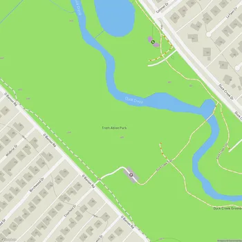
Duck Creek Greenbelt
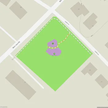
Duck Creek Greenbelt Map
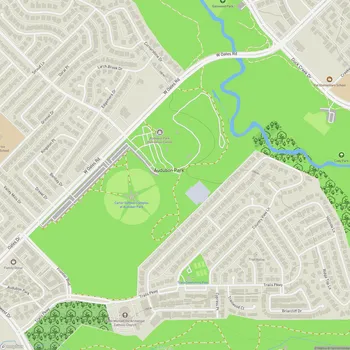
About Duck Creek Greenbelt in Garland
Duck Creek Greenbelt is a significant green space located in Garland, Texas. Spanning over 231 acres, including 14.5 developed acres, this park offers a natural escape within the urban environment. The greenbelt follows its namesake waterway, Duck Creek, between the northeastern Dallas suburbs of Richardson and Garland.
The park features the longest continuous trail in the northeastern corner of Dallas County, with a 7.2-mile shared-use, paved trail. This trail system includes various looped segments, ranging from 8 to 12 feet wide, providing ample space for multiple activities. The trail parallels both banks of Duck Creek, offering scenic views and opportunities for wildlife observation.
Duck Creek Greenbelt connects several other parks in the area, including Troth Ablon Park, Gatewood Park, and Cody Park. This connectivity enhances the park's accessibility and expands recreational options for visitors. The southern trailhead links with the Mesquite Heritage Trail, while the northern trailhead connects to Richardson via the Owens Trail.
The park's natural setting makes it an ideal location for various outdoor activities. Its undeveloped areas provide a habitat for local flora and fauna, contributing to the ecological diversity of the region. The greenbelt's design aims to preserve the natural floodplain while offering recreational opportunities to the community.