Great Bridge Lock Park
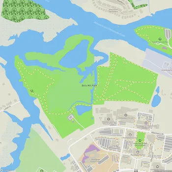
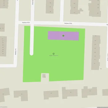
Great Bridge Lock Park Map
About Great Bridge Lock Park in Chesapeake
Great Bridge Lock Park is a 19-acre park located in Chesapeake, Virginia, situated along the Intracoastal Waterway. The park is positioned at the junction where the Albemarle and Chesapeake Canal meets the Southern Branch of the Elizabeth River. It is named after the Corps of Engineers' lock which separates the saltwater of the river from the freshwater of the canal.
The park features a raised berm area with interpretive signage that explains the lock system, allowing visitors to observe the lock operations and watch boats pass through. This vantage point provides spectators with an excellent view of yachts and other vessels transiting the busy waterway that runs from Maine to Key West, Florida.
Great Bridge Lock Park offers various recreational opportunities for visitors. The park includes walking trails along the north shoreline and through the wooded western portion, providing opportunities for nature observation and exercise. Fishing and crabbing areas are available for those interested in aquatic activities.
In 2004, the National Park Service added Great Bridge Lock Park to its "Chesapeake Bay Gateways Network" due to its historic and ecological significance. It is recognized as the southernmost estuary in the Gateway Network and the southernmost explored point on the National Park Service's Captain John Smith National Historic Waterways Trail.