Waterfront Park
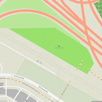
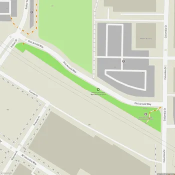
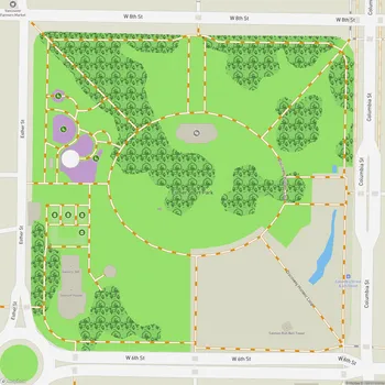
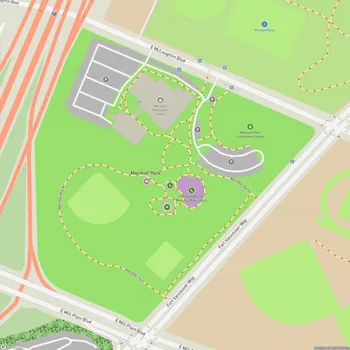
Waterfront Park Map
About Waterfront Park in Vancouver
Vancouver Waterfront Park is a 7.3-acre public park located along the Columbia River in Vancouver, Washington. Opened in September 2018, the park is part of a larger 32-acre mixed-use urban redevelopment project that transformed a former industrial site into a vibrant waterfront destination.
The park features a half-mile of shoreline access, connecting downtown Vancouver to the Columbia River. Its design incorporates elements that reflect the natural and cultural history of the area. The centerpiece of the park is the Grant Street Pier, a cable-stayed structure that extends 90 feet over the Columbia River, offering visitors panoramic views of the water and surrounding landscape.
One of the park's key attractions is the Headwaters Wall, an interactive water feature designed by artist Larry Kirkland. This educational installation includes a bronze bas-relief map of the Columbia River Basin on one side and a topographical map of the river's origins on the other, with water cascading down into a shallow wading pool.
The park's layout includes walking trails, open green spaces, and seating areas that provide opportunities for recreation and relaxation. Native plants and trees have been incorporated into the landscaping, supporting local ecology and providing shade for visitors.
Vancouver Waterfront Park serves as a connector to the existing five-mile Waterfront Renaissance Trail, enhancing the city's network of pedestrian and bicycle paths. The park's design also considers environmental factors, incorporating sustainable features and addressing issues such as shoreline stabilization and habitat restoration.