Victory Park
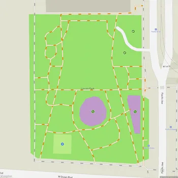
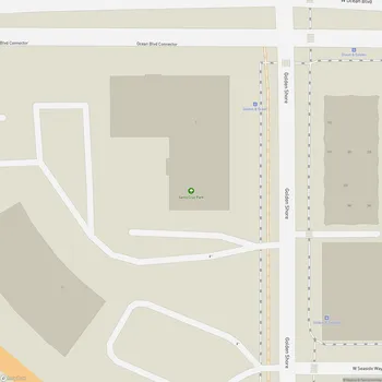
Victory Park Map
About Victory Park in Long Beach
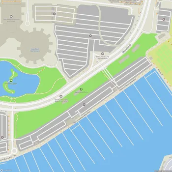
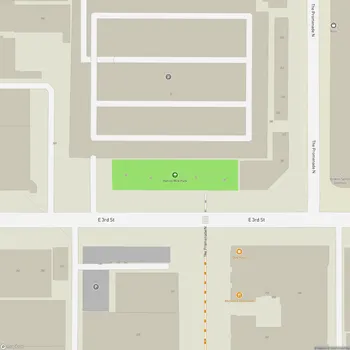
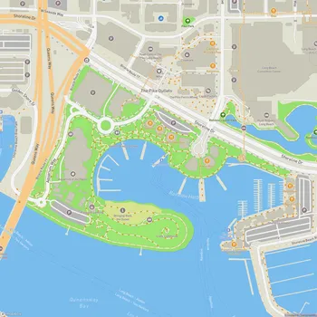
Victory Park is a public green space located along the south side of Ocean Boulevard in Long Beach, California. The park spans from Queens Way to Collins Way and from Hart Place to Shoreline Drive, with the exception of the area in front of the Performing Arts Center Plaza at 300 East Ocean Boulevard.
Originally established as Bluff Park No. 1 in 1889, the area was renamed Victory Park in 1919 to honor World War I veterans. The park originated from land deeded to the City by the Long Beach Land and Water Company as part of a settlement following a lawsuit. This compromise dedicated the area on top of the bluff as a public park, while the bluff face and the area between the bluff and the high tide line remained with the company.
Victory Park is characterized by its scenic ocean views and serves as a buffer between Ocean Boulevard and the shoreline. The park primarily consists of lawn areas with some trees, designed to preserve the ocean vistas. Its development occurred gradually on a block-by-block basis over the years.
In 1980, the City Council and the California Coastal Commission certified the Local Coastal Program (LCP), which aimed to reestablish Victory Park as a unified park throughout downtown Long Beach. The LCP requires new developments and apartment-to-condominium conversions along Ocean Boulevard to rebuild Victory Park according to specific design guidelines and dedicate additional depth to create a minimum park width of 80 feet from the Ocean Boulevard curb.
Today, Victory Park continues to provide Long Beach residents and visitors with a tranquil green space offering panoramic views of the Pacific Ocean. The park serves as a popular spot for relaxation, casual strolls, and enjoying the coastal scenery.