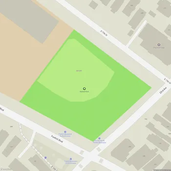
Union Point Park
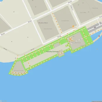
Union Point Park Map
About Union Point Park in Oakland
Union Point Park is a nine-acre waterfront park located in Oakland, California, near Coast Guard Island and just south of the Embarcadero area shoreline. Opened in 2005, this park was developed on a former industrial site, transforming a contaminated area into a valuable public space.
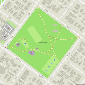
The park's design incorporates elements that reflect its industrial past and coastal location. A notable feature is the overlook hill, which serves both as a focal point and an innovative environmental solution. Rather than removing contaminated soil, it was gathered into a mound, capped, and rendered safe through sustainable measures. This 20-foot-high landscaped mound not only addresses environmental concerns but also provides visitors with panoramic views of the San Francisco Bay.
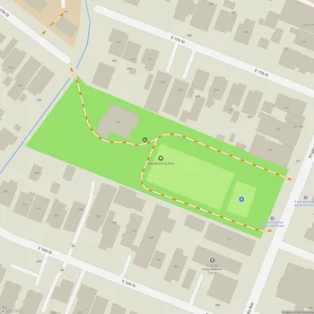
Union Point Park offers a mix of recreational facilities and natural spaces. It features expansive lawns and gardens, interspersed with paved pathways that are part of the Bay Trail system. The park's layout includes a series of hills and mounds along the street side, creating what designers call a "rippled edge" that helps contain the park space and buffer it from nearby industrial areas.
The park serves as an important public space for residents of nearby neighborhoods, including Fruitvale and San Antonio, catering to a diverse population. It provides much-needed waterfront access and open space in an area of Oakland that previously lacked such amenities. The park's development was a collaborative effort involving various community groups, agencies, and individuals, reflecting the community's vision and addressing their concerns.
Union Point Park is part of a broader initiative to create a system of parks, walkways, and bike paths around the San Francisco Bay, enhancing public access to the waterfront and promoting environmental stewardship.