Civic Center Plaza
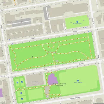
Civic Center Plaza Map
About Civic Center Plaza in San Francisco
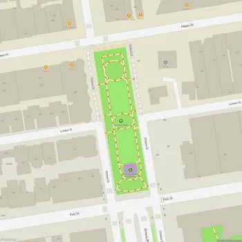
Civic Center Plaza is a 4.53-acre public square located in the heart of San Francisco's Civic Center district. The plaza sits immediately east of San Francisco City Hall and is bounded by McAllister Street to the north, Larkin Street to the east, Grove Street to the south, and Dr. Carlton B. Goodlett Place (formerly Polk Street) to the west.
The plaza is divided into northern and southern sections by the former alignment of Fulton Street. The northern block is built over a three-story underground parking garage completed in 1960, while the southern block covers Brooks Hall, a former exhibition space constructed in 1958.
Civic Center Plaza features a symmetrical design with formal plantings and two aisles of London plane trees flanking an east-west pathway leading to City Hall. The plaza serves as both a ceremonial gathering place for large civic events and demonstrations as well as a neighborhood park for daily use.
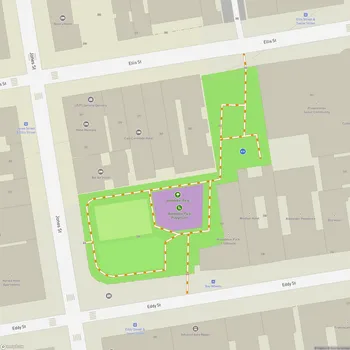
In 2018, the plaza underwent renovations that added two new children's playgrounds in the northeast and southeast corners. Other amenities include benches, public art installations, and open grassy areas. The plaza is often used for farmers markets, food truck events, and community festivals.
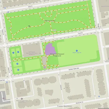
As part of the larger Civic Center complex, the plaza is surrounded by notable Beaux-Arts style government buildings and cultural institutions, including City Hall, the Asian Art Museum, San Francisco Public Library, Bill Graham Civic Auditorium, and the War Memorial Opera House. This concentration of civic and cultural landmarks led to the area's designation as a National Historic Landmark District in 1987.