Tank Hill
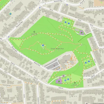
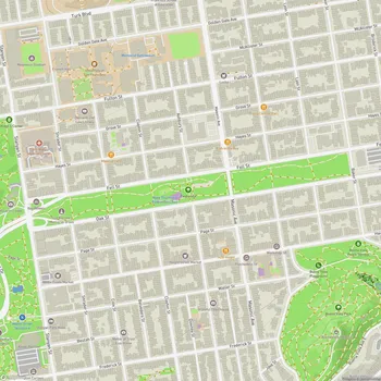
Tank Hill Map
About Tank Hill in San Francisco
Tank Hill Park is a small but scenic urban park located in San Francisco, California. Situated near the intersection of Clayton Street and Twin Peaks Boulevard, this hidden gem offers visitors breathtaking panoramic views of the city and surrounding areas. The park sits at an elevation of 650 feet, providing vistas that stretch from downtown San Francisco to the Golden Gate Bridge, Alcatraz, and even across the bay to Oakland and Berkeley.
Originally named for a water tank that stood on the site in the 1890s, Tank Hill narrowly escaped development in 1977 when the city purchased the land to preserve it as a public space. The park's natural rocky outcropping defines its northern edge, which drops off steeply to the houses below.
Visitors can access the hilltop via two routes: a wooden staircase from Twin Peaks Boulevard at Crown Terrace, or a rustic path with rough wood and dirt steps from the end of Belgrave Avenue. The shorter wooden staircase is generally considered the easier climb.
Despite its proximity to the more famous Twin Peaks, Tank Hill remains relatively unknown, even to many locals. This obscurity contributes to its peaceful atmosphere, with visitors often finding themselves alone or sharing the space with just a few others, even on sunny weekends. The park is particularly popular among residents for watching fireworks displays on the 4th of July, offering unobstructed views of pyrotechnics across the city.
In 2001, the park underwent a restoration project aimed at improving the environment for native plants. This involved clearing some of the mature eucalyptus trees, though a compromise was reached to protect remaining trees until newly planted native species reached an adequate size.
Tank Hill Park serves as a serene retreat for those seeking a quiet spot to enjoy nature and stunning city views, all within the heart of San Francisco's urban landscape.