Marvin Gaye Park
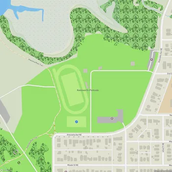
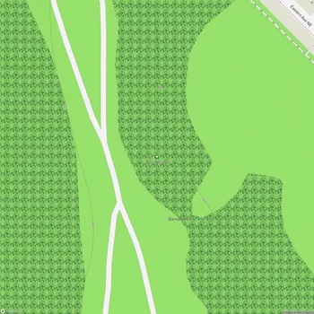
Marvin Gaye Park Map
About Marvin Gaye Park in Washington
Marvin Gaye Park, located in Washington, D.C., is the city's longest municipal park, stretching 1.6 miles through the far-northeastern neighborhoods of Deanwood, Burville, Hillbrook, Lincoln Heights, and Northeast Boundary. Formerly known as Watts Branch Park, it was officially rededicated as Marvin Gaye Park on April 2, 2006, which would have been the singer's 67th birthday.
The park occupies a green stream valley along Watts Branch, the largest tributary to the Anacostia River within the District of Columbia. It includes the Watts Branch stream that flows from the Anacostia River into the park. Over the years, the park has undergone significant revitalization efforts to transform it from a neglected area once dubbed "Needle Park" due to rampant drug use, into a vibrant community space.
The park has been the focus of one of the city's most important revitalization projects. Since 2001, extensive cleanup efforts have been undertaken, with volunteers removing over 3.5 million pounds of trash, 9,000 hypodermic needles, and 78 abandoned cars from the stream and surrounding land. Over 1,000 native trees have been replanted as part of the restoration efforts.
Marvin Gaye Park holds historical significance beyond its natural features. The renowned singer Marvin Gaye grew up near the east end of the park in the neighborhood. It's said that he would sit beside the stream, write songs, and sing. The park also has connections to civil rights history, with Reverend Martin Luther King Jr. calling on area residents in 1961 to join him in a sit-in at a downtown lunch counter.
Today, the park serves as a vital greenway and trail system, exemplifying the transformation possible when community needs are addressed through park development. It provides a space for recreation, community gatherings, and connection with nature in the heart of urban Washington, D.C.