Fort Lincoln
Fort Lincoln Map
About Fort Lincoln in Washington
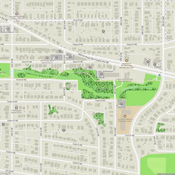
Fort Lincoln Park is a public park located in the northeastern quadrant of Washington, D.C. The park covers approximately 29 acres and is situated between Fort Lincoln Drive NE and Commodore Joshua Barney Drive NE, near the District-Maryland border.
The park has rich historical significance dating back to the Civil War era. It was originally one of seven temporary earthwork forts built as part of the Civil War Defenses of Washington, D.C. to protect the city from Confederate forces. Today, the park offers panoramic views of the District, integrating its extreme topographic changes with key design features.
In the 1970s, the park underwent a redesign by landscape architect M. Paul Friedberg. The current layout includes a "historic core" located between the Theodore Hagans Cultural Center to the south and the Fort Lincoln Park Community Center to the north. Notable features of this core area include a towered brick fountain, a sunken fort-like play space with "brick scramble" paving, and railroad tie retaining walls.
Fort Lincoln Park serves as a vibrant community hub, offering a variety of recreational facilities and spaces for visitors of all ages. The park has undergone recent renovations to enhance accessibility, revive existing landscapes, and create new amenities while respecting much of the original integrity of Friedberg's 1970s design.