Rawlins Park
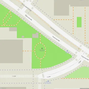
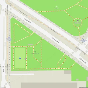
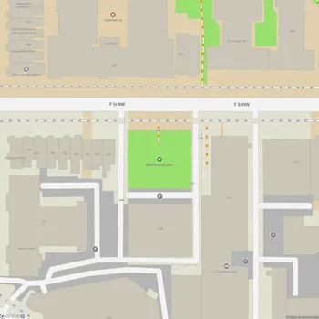
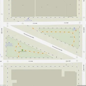
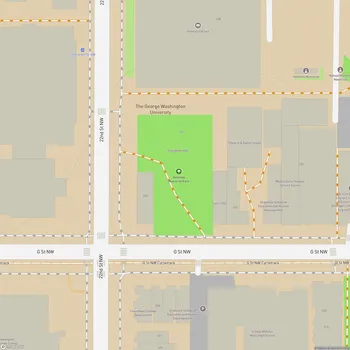
Rawlins Park Map
About Rawlins Park in Washington
Rawlins Park is a rectangular public park located in the Foggy Bottom neighborhood of Washington, D.C. Situated two blocks west of the White House grounds and two blocks north of the National Mall, this 1.5-acre park serves as a green space amidst the urban landscape.
The park is divided into three terraces connected by wide staircases oriented along a north-south axis. Its centerpiece is a magnolia-lined flagstone plaza featuring an octagonal bubbling fountain. This central feature is flanked by two 116-foot-long reflecting pools, creating a framed sightline towards the statue of General John A. Rawlins, for whom the park is named.
Rawlins Park has a rich history dating back to Andrew Ellicott's 1792 plan for Washington, D.C. It remained undeveloped until after the Civil War when Congress designated the land for a statue of General Rawlins in 1872. The park has undergone several redesigns over the years, including major changes in 1916 and the 1930s to accommodate the construction of nearby government buildings.
The statue of General Rawlins, sculpted by Joseph A. Bailly, stands at the park's eastern border. This bronze statue, erected in 1874, is part of the Civil War Monuments in Washington, D.C., listed in the National Register of Historic Places.
Rawlins Park is particularly beautiful in spring when its Saucer Magnolia trees bloom, offering a quieter alternative to the famous Cherry Blossoms at the Tidal Basin. The park serves as a peaceful retreat for government employees and visitors, providing a space for relaxation and contemplation in the heart of the capital.