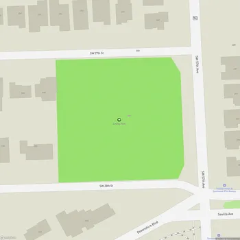
Coral Gables Wayside Park
Coral Gables Wayside Park Map
About Coral Gables Wayside Park in Miami
Coral Gables Wayside Park is a historic site located in Miami-Dade County, Florida. Situated west of Red Road between Southwest 34th and Southwest 35th Streets, this park covers approximately 1.5 acres of land. The park is transected east to west by the Coral Gables Waterway, which forms a small pool in the center, creating four roughly equal grass-covered open spaces.
The park's most distinctive features are its Medieval Revival-style structures. Square towers built of concrete blocks and adorned with stucco form the main entrance. These towers, approximately 13 feet square, are flanked by smaller towers along SW 34th and 35th Streets. The walls connecting the towers feature concave shallow arches punctuated by square piers with pyramid caps, reminiscent of medieval battlements but with a softer, more elongated curve.
Originally constructed during the 1920s Florida Boom, Coral Gables Wayside Park was intended to serve as the entrance to the planned community of Central Miami. Despite changes in ownership over the years, it has maintained its park-like atmosphere. The landscape includes large shade trees such as pigeon plum, ficus, and live oak, some with trunks up to 42 inches in diameter.
On January 19, 1989, Coral Gables Wayside Park was added to the U.S. National Register of Historic Places, recognizing its historical and architectural significance. Today, the park is operated by the Parks Department of Miami-Dade County and remains open to the public from sunrise to sunset.