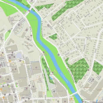
North Oconee River Greenway
North Oconee River Greenway Map
About North Oconee River Greenway in Athens
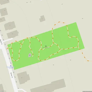
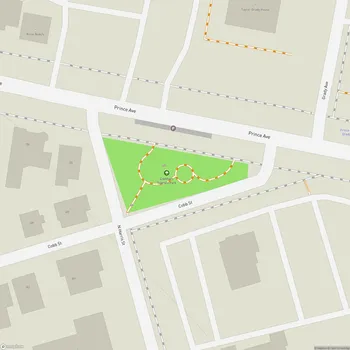
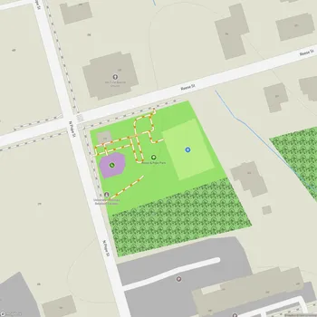
The North Oconee River Greenway is a linear park system located in Athens, Georgia. It stretches along the North Oconee River, providing both recreational opportunities and environmental conservation. The greenway consists of approximately 8 miles of paved multi-use trails designated for non-motorized use, as well as additional natural surface hiking trails.
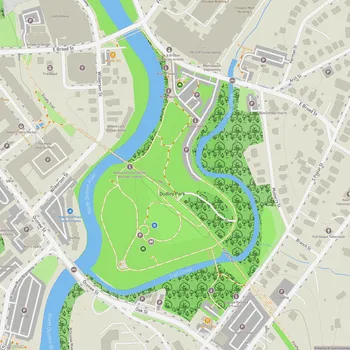
The main paved trail runs from Sandy Creek Nature Center in the north to Bailey Street and Carriage Lane in the south. Along this route, visitors can enjoy scenic views of the North Oconee River, pass through Dudley Park, and see landmarks such as the Oconee Hill Cemetery and Carr's Creek. The trail is popular among joggers, walkers, and cyclists.
Within the greenway system, there is a half-mile Heritage Trail section between Dudley Park and Wilkerson Street. This segment features over 50 interpretive panels that provide information about Athens' history, including details about the North Oconee River, local industry, and the people who have lived in the area.
The North Oconee River Greenway serves multiple purposes beyond recreation. It acts as a wildlife corridor, providing habitat and movement pathways for various species. The greenway also helps improve water quality by creating a natural buffer along the river that filters runoff and reduces erosion.
The trail system connects several parks and points of interest, including the Sandy Creek Nature Center, North Oconee River Park, and the University of Georgia campus. It serves as an alternative transportation route for pedestrians and cyclists, linking residential areas, downtown Athens, and the university.
Open daily from sunrise to sunset, the greenway is free to use and accessible to the public year-round, weather permitting. Visitors should be aware that some low-lying sections of the trail may flood during periods of heavy rain.