David R. Francis Park
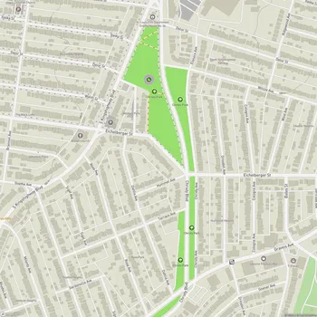
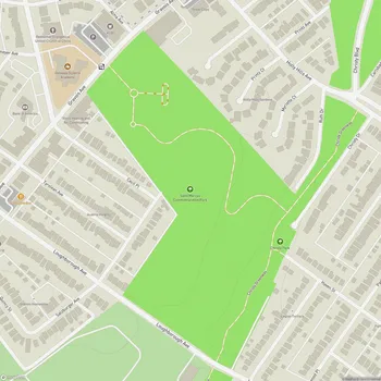
David R. Francis Park Map
About David R. Francis Park in St Louis
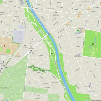
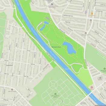
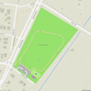
Francis Park is a 60.30-acre urban park located in the St. Louis Hills neighborhood of St. Louis, Missouri. The park is bounded by Eichelberger Street to the south, Nottingham Avenue to the north, Tamm Avenue to the east, and Donovan Avenue to the west.
The park was established in 1916 when David Rowland Francis, former mayor of St. Louis and governor of Missouri, donated the land to the city. Francis Park serves as one of two main parks in the St. Louis Hills area, alongside Willmore Park.
Francis Park features a central walkway and lily pond, with sports fields concentrated on the south side of the park. The park is surrounded by wide sidewalks that are popular with joggers, dog walkers, and families. The neighborhood surrounding the park is characterized by tree-lined streets, well-maintained homes, and several churches, reflecting the area's strong sense of community.
The park hosts several annual events organized by the St. Louis Hills Neighborhood Association, including an art fair, a 5K run, and a bike race that is part of the St. Louis Gateway Cup series. These events help raise funds for park maintenance and improvements.
In 2010, the City of St. Louis Planning Commission adopted the Francis Park Strategic Plan, aimed at preserving and enhancing the park's features. The Friends of Francis Park, a 501(c)(3) charity organized by local residents, works to raise funds for major park improvements beyond what the city can afford.