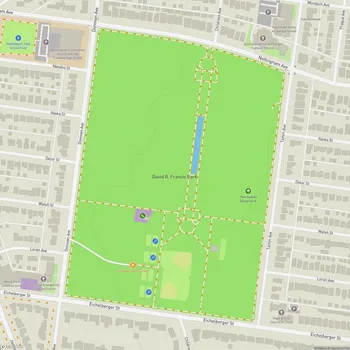
River Des Peres Park
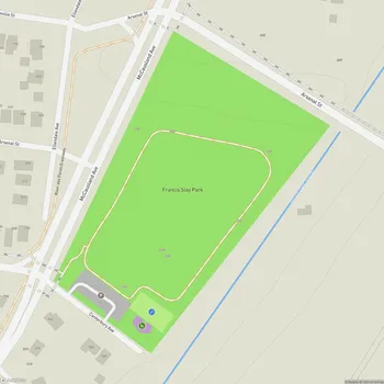
River Des Peres Park Map
About River Des Peres Park in St Louis
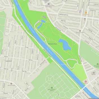
River Des Peres Park is a 145-acre municipal park located in St. Louis, Missouri. Established in 1926, the park stretches along the western edge of the city, running from the Shrewsbury Metrolink stop at Landsdowne to approximately Morgan Ford Road. It encompasses parts of both the St. Louis Hills and Lindenwood Park neighborhoods.
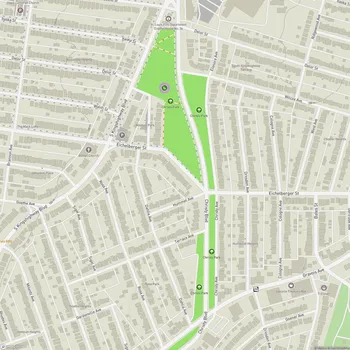
The park is primarily characterized by its narrow strip of land that follows the course of the River Des Peres, including some islands of land where River Des Peres Boulevard splits. This unique layout provides visitors with an extended green space in an urban setting.
One of the park's notable features is its connection to the River Des Peres Greenway Trail. The first phase of this trail opened in 2005, with subsequent phases completed in 2008 and more recently, extending the trail's reach and accessibility.
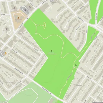
River Des Peres Park offers a blend of natural beauty and recreational amenities. It features a playground equipped with bike racks, benches, and trash cans, situated beside a rain garden planted with bald cypress and other water-loving species. The park's landscape is further enhanced by "living walls" on some bridge retaining walls, where perennials are planted in patterned spaces, creating visual interest and helping to cool the hard surfaces.
The park serves as an important green space for the surrounding communities, providing opportunities for walking, jogging, and cycling along its trails. It also plays a role in local ecology, with its proximity to the River Des Peres and its landscaping choices contributing to urban biodiversity and stormwater management.