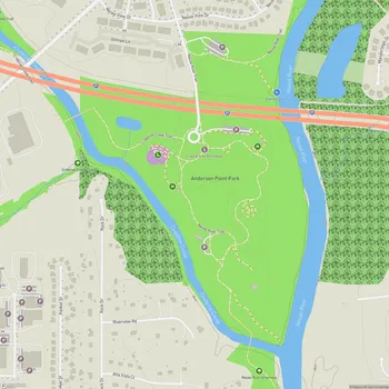
Neuse River Trail
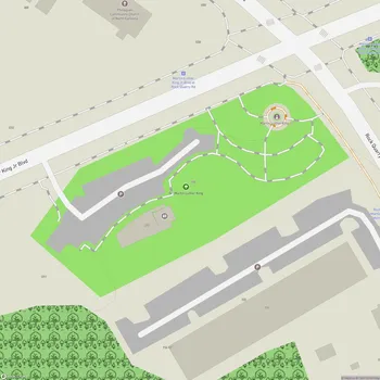
Neuse River Trail Map
About Neuse River Trail in Raleigh
The Neuse River Trail is a 27.5-mile paved greenway that runs along the Neuse River in Raleigh, North Carolina. As part of the Capital Area Greenway System, this trail provides a scenic route for walking, running, and cycling.
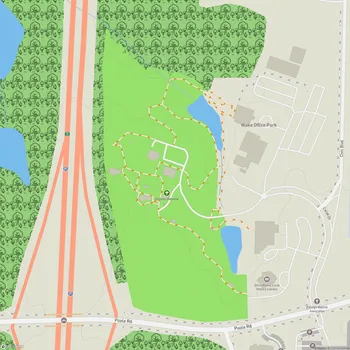
The trail stretches from Falls Lake Dam in northern Raleigh to the Wake County line in the southeast. Along its course, users can experience diverse landscapes including riverfront views, wetlands, and historical sites. The path features several wooden boardwalks and bridges, including two notable suspension bridges that offer unique vantage points over the river.
Interpretive signs are placed along the trail, offering information about the local ecology, wildlife, and history of the area. The Neuse River Trail also serves as a segment of the Mountains-to-Sea Trail, a long-distance trail that crosses North Carolina from the Great Smoky Mountains to the Outer Banks.
The trail is open from dawn to dusk daily and is accessible to a wide range of users. It connects to other greenways in the area, allowing for extended trips and exploration of the broader Raleigh region. The relatively flat terrain makes it suitable for users of various fitness levels.
While primarily used for recreation, the Neuse River Trail also serves as a transportation corridor for commuters, connecting several neighborhoods and parks in the eastern part of Raleigh.